
Mapping the Future: KenGen Adopts Drone Tech and GIS to Track Environmental Gains
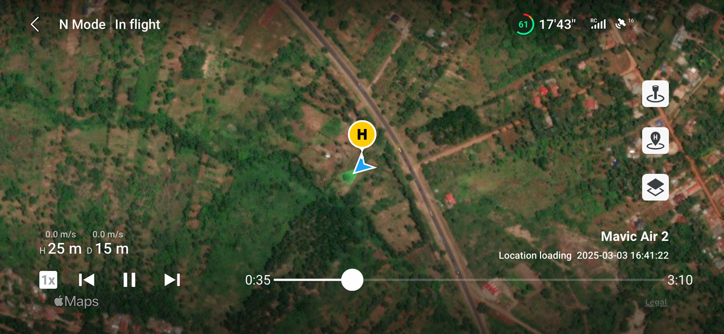
At KenGen’s Ngong Wind Power Station, a drone hovers above the lush green forest, its camera capturing a sweeping view of the restoration project below. On the ground, a team of environmentalists, a GIS expert and a drone pilot are busy operating technical gadgets, capturing GPS point and controlling the aircraft. The objective of the exercise was to document and monitor KenGen PLC’s environmental conservation projects, marking a pivotal point for the company as it turns to technology to measure the success of its sustainability efforts, ensuring that each tree planted and each acre restored contributes to a broader environmental impact.
Leading the effort is Christopher Muchiri, Principal Officer for Environment at KenGen, alongside Edwin Makokha, Principal Technician and GIS Expert, and Ernest Nyamasyo, Communication Officer and Drone Pilot. The trio recently undertook an extensive geospatial mapping exercise aimed at tracking the progress of KenGen’s conservation initiatives across multiple project sites. The goal was to create detailed maps, analyze environmental changes over time, and gather high-resolution imagery for documentation to showcase the company’s environmental achievements. By leveraging on these technologies, the team sought to create a comprehensive, data-driven approach to environmental monitoring.
The exercise began at Ngong, where restoration and erosion control efforts have taken root. Here, the team recorded an impressive survival rate of over 102% for tree species such as Croton megalocarpus, Prunus africana, Albizia gummifera, and Olea africana. Such an extraordinary success rate underscores the effectiveness of restoration techniques applied at the site. From there, the mapping effort moved to KenGen’s Olkaria geothermal site, where 12,000 seedlings thrive in the company’s tree nursery, serving as a vital resource for ongoing reforestation efforts. In Eburru, another 12,000 trees stand tall, reinforcing the resilience of the ecosystem and its ability to recover with strategic interventions.
The team’s work continued at the Upper Tana and Wanji Power Stations, where over 30,000 trees are flourishing, transforming the local environment. Species such as Dendrocalamus giganteus, Terminalia brownii, Senna siamea, Mangifera indica, and Markhamia lutea were among those documented, highlighting the diverse selection of trees planted to enhance biodiversity. However, the most striking restoration efforts have taken place at the Seven Forks hydropower stations, where more than 100 acres of buffer zones have been rehabilitated. These restored areas play a critical role in preventing soil erosion, improving water retention, and creating a healthier ecosystem around the hydroelectric facilities.
As KenGen expands its conservation work, technology has become a crucial tool for accountability and progress tracking. The use of drones has revolutionized the way environmental projects are documented, allowing for high-resolution, real-time imagery that was previously difficult to obtain. Ernest Nyamasyo, who piloted the drone throughout the mapping exercise, emphasized the transformative impact of this technology on conservation efforts. “Drone technology allows us to capture real-time, detailed footage of our restoration efforts,” Nyamasyo explained. “From canopy coverage to soil retention, we can visually assess our progress in ways that traditional methods simply couldn’t match.” The ability to capture extensive visual data in a short period has significantly improved the efficiency of environmental assessments.
Meanwhile, Geographic Information Systems (GIS) are enhancing the precision of mapping efforts, allowing scientists and conservationists to overlay multiple datasets for deeper analysis. Edwin Makokha, an expert in GIS technology, and also a trained drone pilot, highlighted the significance of this tool in understanding ecological transformations. “With GIS, we can map out ecological changes with pinpoint accuracy,” said Makokha. “We’re not just taking pictures; we’re creating a layered understanding of our environmental impact over time.” Unlike traditional documentation methods, GIS mapping offers a multi-layered perspective that captures historical trends, spatial relationships, and long-term environmental changes. By integrating drone imagery with GIS data, KenGen can generate accurate maps that not only illustrate progress but also serve as a blueprint for future conservation strategies.
The importance of such meticulous documentation cannot be overstated. Christopher Muchiri noted that the ability to measure and analyze data is fundamental to refining conservation approaches. “We needed a comprehensive, data-driven approach to monitor progress,” Muchiri emphasized. “By mapping these projects, we can better understand what’s working, where we need to improve, and how to sustain the gains we’ve made.” He stressed that environmental sustainability requires more than just planting trees—it demands continuous monitoring to ensure survival, adaptability, and long-term impact. Without concrete data, it is difficult to gauge the effectiveness of restoration projects or make informed decisions about resource allocation. The combination of drone technology and GIS mapping provides a robust framework for assessing progress and addressing challenges before they escalate.
KenGen’s approach underscores a growing recognition of the need for rigorous, technology-driven monitoring in environmental conservation. By integrating cutting-edge tools into its sustainability strategy, the company is setting a precedent for data-backed environmental stewardship. As global restoration efforts accelerate and climate concerns mount, this high-tech approach to conservation monitoring may serve as a model for industries and governments alike. “We can’t manage what we don’t measure,” Muchiri added. “These tools give us the ability to track our footprint, refine our efforts, and make informed decisions for the future of Kenya’s ecosystems.” Seeing is believing, and through the lenses of drones and GIS mapping, KenGen is not only safeguarding Kenya’s ecosystems but also demonstrating that meaningful environmental change is measurable, traceable, and ultimately, achievable.